
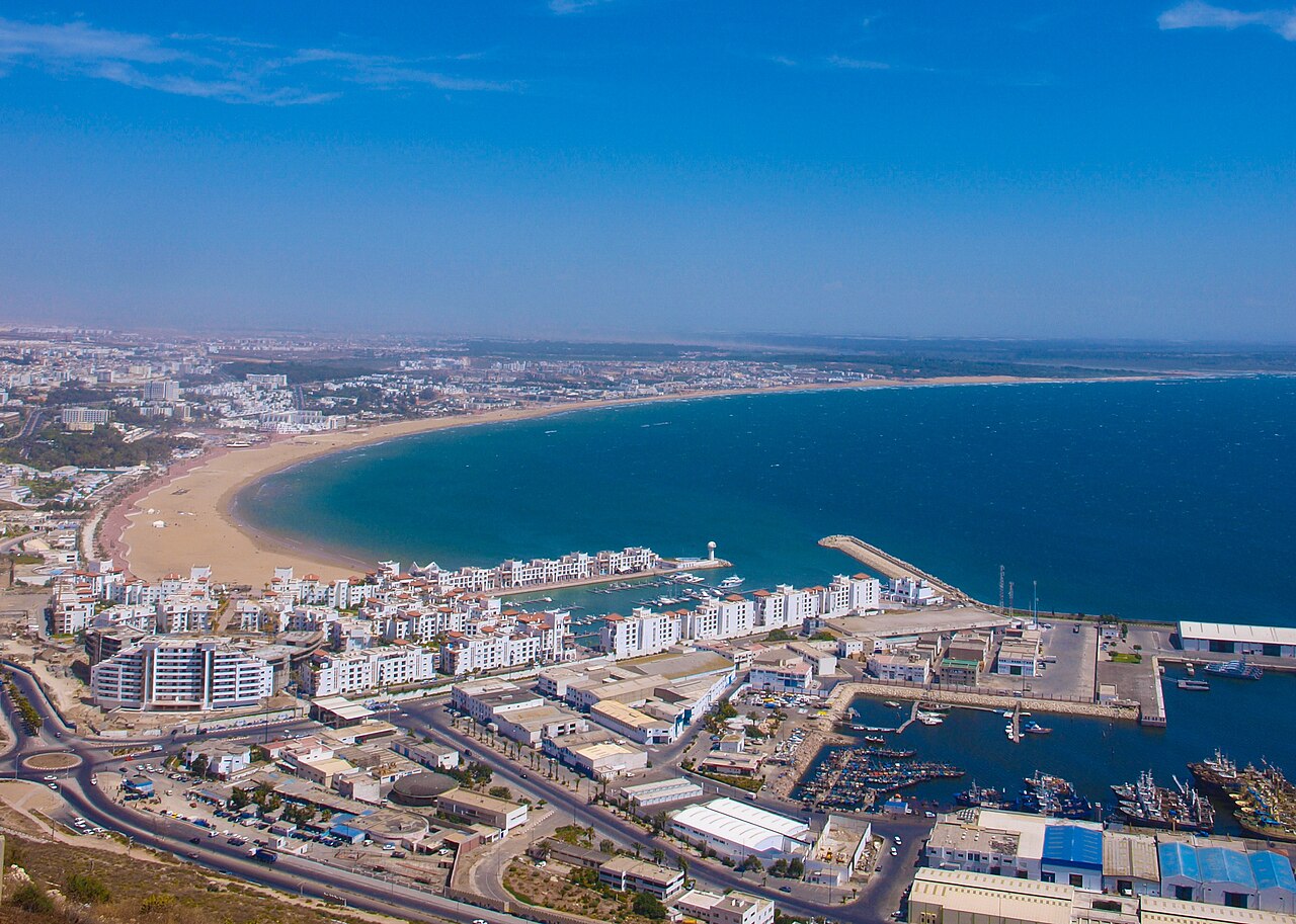
Agadir: routes, public transport and places
Rebuilt on a grid plan after the 1960 earthquake, Agadir lives on beach tourism, fishing and the farming of the Souss.
- 504,768inhabitants2024 census
- 1,149addresses listed
- 20categories
- 53,789km² in area
- Souss-Massaregion
All categories in Agadir
- View list
- View list
- View list
- View list
- View list
- View list
- View list
- View list
- View list
- View list
- View list
- View list
- View list
- View list
- View list
- View list
- View list
- View list
- View list
- View list
Getting to know Agadir
Destroyed by the 1960 earthquake, Agadir was rebuilt further south on an open plan: wide avenues, low buildings and a long beach lined by a promenade. Orange petits taxis work in the city, buses serve Inezgane, Aït Melloul and the coast, and Agadir Al Massira airport is about twenty kilometres south-east. There is no train: Marrakech and the north are reached by coach or motorway.
The Agadir Oufella kasbah, on the hill, overlooks the bay; Souk El Had gathers the produce of the Souss. The port remains one of the country's leading sardine ports. To the north, the Taghazout coast draws surfers, and inland, Paradise Valley and the Souss plain lead towards Taroudant.
By neighbourhood
- Centre-ville 181
- Hay Mohammadi 176
- Dakhla 137
- Talborjt 80
- Tikiouine 78
- Founty – Secteur balnéaire 32
- Anza 18