
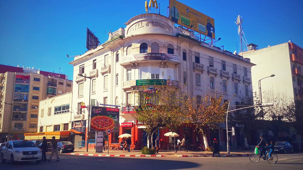
Kénitra: routes, public transport and places
On the Sebou, Kénitra hosts an automotive free zone and serves the farming plain of the Gharb.
- 507,736inhabitants2024 census
- 1,005addresses listed
- 19categories
- 650km² in area
- Rabat-Salé-Kénitraregion
All categories in Kénitra
- View list
- View list
- View list
- View list
- View list
- View list
- View list
- View list
- View list
- View list
- View list
- View list
- View list
- View list
- View list
- View list
- View list
- View list
- View list
Getting to know Kénitra
Kénitra grew in the early twentieth century from a port on the Sebou. It has become an industrial hub, with the Atlantic Free Zone and its car plant, and a rail junction: Kénitra station is where the Al Boraq high-speed line from Tangier meets the conventional network to Rabat and Casablanca.
The centre is organised around Avenue Mohammed V. About ten kilometres away, Mehdia beach, the kasbah above it and Lake Sidi Boughaba, a bird reserve, are the usual outings; the Maâmora forest stretches to the south.
Other trains from Kénitra
By neighbourhood
- Centre-ville 239
- Ouled Oujih 105
- Bir Rami 94
- Mimosas 93
- Val Fleuri 55
- Maâmora 37