
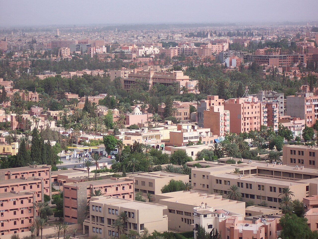
Marrakech: routes, public transport and places
A World Heritage medina, Jemaa el-Fna square, riads and the palm grove: Marrakech lives on tourism and craft. The directory lists accommodation, restaurants and practical services.
- 1,002,697inhabitants2024 census
- 3,055addresses listed
- 20categories
- 230km² in area
- Marrakech-Safiregion
All categories in Marrakech
- View list
- View list
- View list
- View list
- View list
- View list
- View list
- View list
- View list
- View list
- View list
- View list
- View list
- View list
- View list
- View list
- View list
- View list
- View list
- View list
Getting to know Marrakech
Marrakech's medina is explored on foot, as many of its lanes are closed to cars; elsewhere, beige petits taxis and a city bus network link Guéliz, the Hivernage, the Palmeraie and the outer districts. The ONCF station, in Guéliz, is the end of the line from Casablanca, and Marrakech-Menara airport is a few kilometres south-west of the centre.
Jemaa el-Fna square, whose storytellers and musicians are inscribed on UNESCO's intangible heritage list, opens onto the souks and the Koutoubia. Around it lie the Bahia Palace, the Saadian Tombs, the Ben Youssef Madrasa and, in Guéliz, the Majorelle Garden. The city is the usual starting point for trips into the Atlas, the Ourika valley and, over the Tichka pass, Ouarzazate.
Other trains from Marrakech
By neighbourhood
- Médina 613
- Guéliz 514
- Jemaa el-Fna 363
- M'Hamid 196
- Kasbah – Mellah 146
- Hivernage 118
- Daoudiate 99
- Targa 88
- Sidi Youssef Ben Ali 53
- Palmeraie 41
- Agdal – Menara 29
- Massira 26