
Rabat: routes, public transport and places
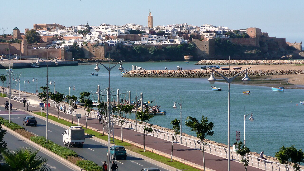
Capital of the Kingdom and a UNESCO World Heritage site since 2012, Rabat brings together a medina, the Kasbah of the Udayas, the necropolis of Chellah and its modern districts. The guide and the directory cover its heritage, its neighbourhoods and its everyday services.
- 515,619inhabitants2024 census
- 2,703addresses listed
- 20categories
- 118km² in area
- Rabat-Salé-Kénitraregion
All categories in Rabat
- View list
- View list
- View list
- View list
- View list
- View list
- View list
- View list
- View list
- View list
- View list
- View list
- View list
- View list
- View list
- View list
- View list
- View list
- View list
- View list
Getting to know Rabat
Rabat and Salé form a single urban area, linked by the two tram lines that cross the Bouregreg. Blue petits taxis work in the city; Rabat-Ville and Rabat-Agdal stations are served by trains to Casablanca, Fez and, via Kénitra, the high-speed line to Tangier. Rabat-Salé airport is on the Salé side of the river.
A World Heritage Site since 2012, the capital brings together a lived-in medina, the Kasbah of the Oudayas above the river mouth, the Hassan Tower and Mohammed V Mausoleum, and the Chellah necropolis. The modern city, laid out under the protectorate, houses ministries and embassies; Agdal and Hay Riad are its shopping and business districts, and the corniche runs south to the beaches of Témara.
Other trains from Rabat
By neighbourhood
- Agdal 496
- Hay Riad 296
- Centre-ville 227
- Yacoub El Mansour 216
- Médina 191
- L'Océan 189
- Hassan 177
- Takaddoum 95
- Akkari 83
- Diour Jamaa 77
- Les Orangers – Aviation 72
- Al Irfane 64